We found ourselves back in the Tāmaki Makaurau | Auckland area as our 18-month NZ road trip entered its final month. We had passed through the city several times already, but this time we planned for a few nights stay to explore some of what the city might offer to weary travellers.
Coordinates
Āwhitu Peninsula
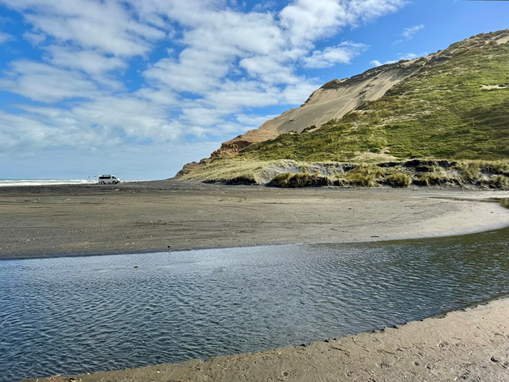
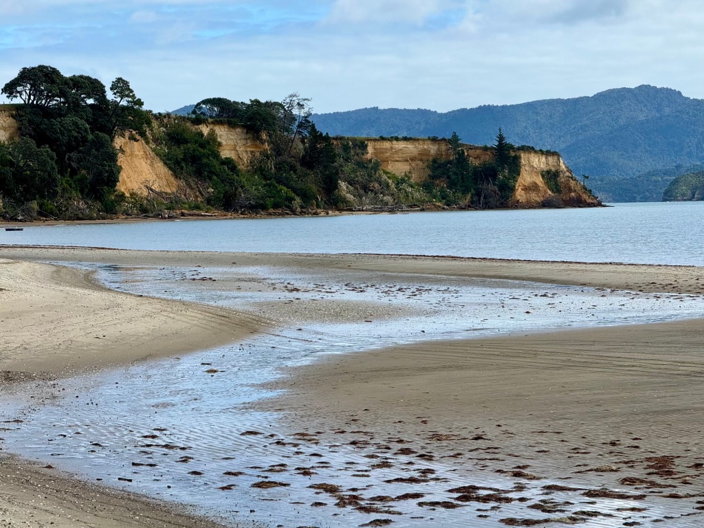
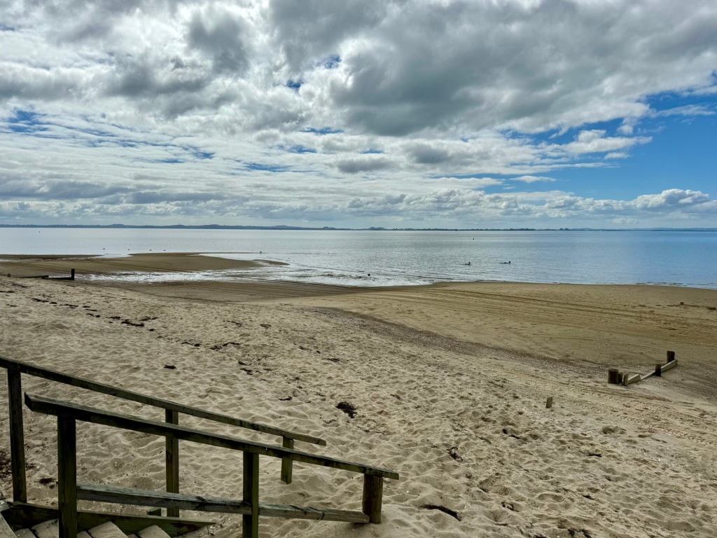
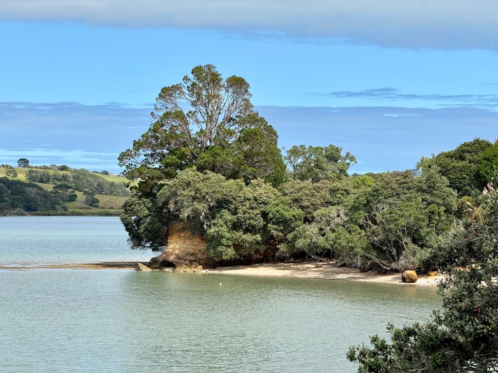
En route to Auckland proper we made a detour into the Āwhitu Peninsula, on the south side of Manukau Harbour. Hamiltons Gap | Waimatuku affords access to a typical west coast beach (first photo). On the inside of the harbour we called into Big Bay (second photo), Grahams Beach (third photo) and Matakawau Point (final photo). The latter is where B. spent some childhood holidays in the 1970s. We found little to commend here.
Ardmore
The NZMCA Park at Ardmore Airfield was where we spent our first night in Curiosity; it seemed fitting to return there as our journey approaches its end.
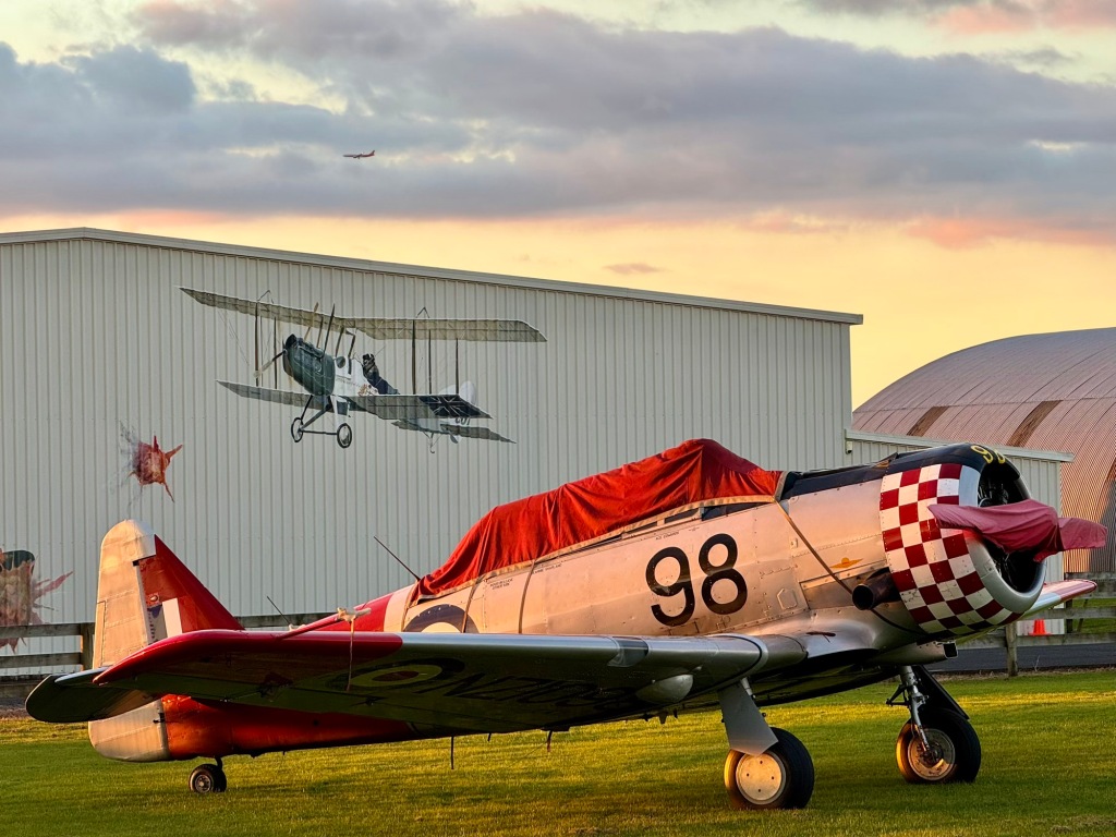
That departure lounge feeling… again!
❤️ Well-being
Staying at Ardmore Airfield was in part an opportunity to catch up on van admin and do some planning for tackling Auckland. NZ’s largest city is as divisive as Marmite—some like it, but for others it engenders antibodies! We found ourselves in the latter camp, anticipating awful traffic, difficulty finding good park-ups and the challenge of navigating public transport. We were also distracted by the need to sell our van in the immediate future, and our minds already sought the departure lounge for imminent European adventures.
Coast to Coast Walkway
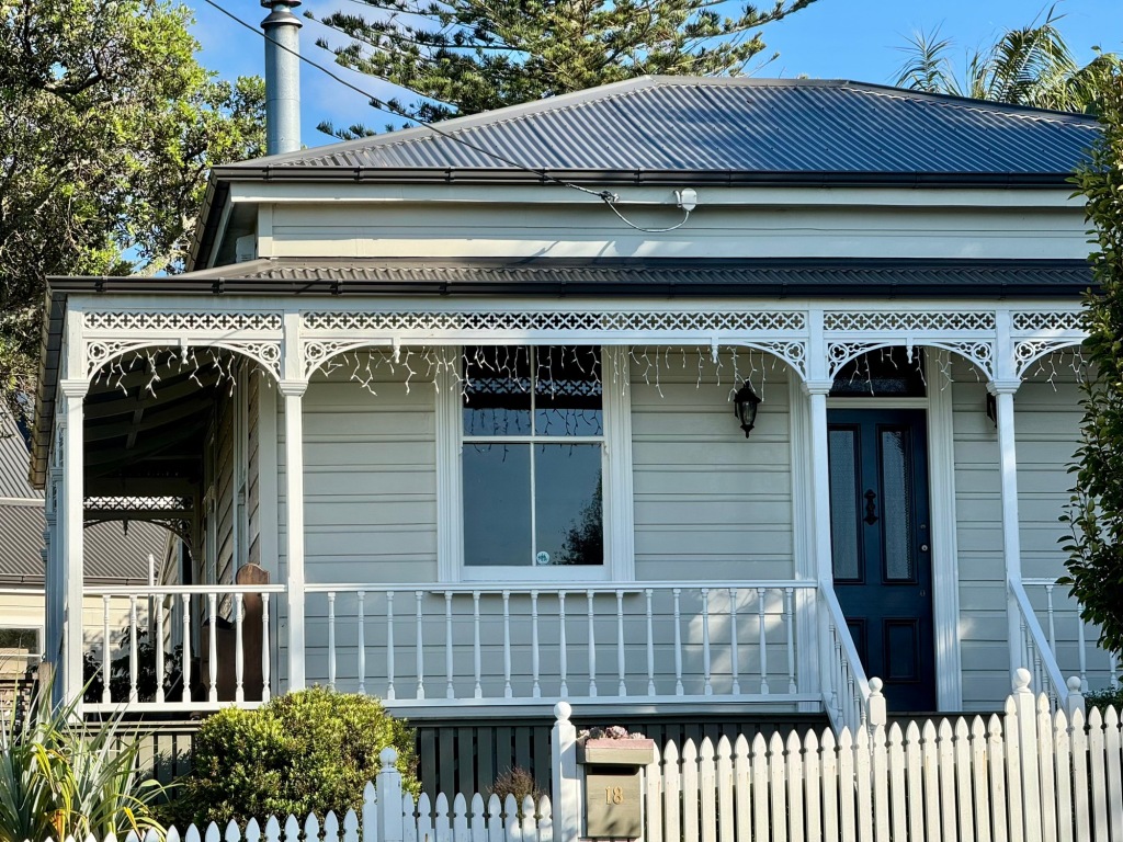
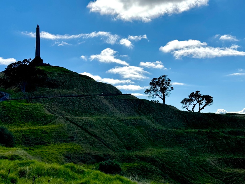
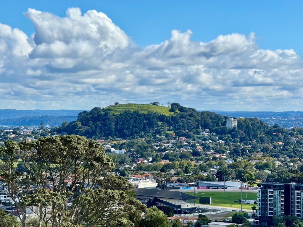
We decided Auckland’s Coast to Coast Walkway would be a good place to begin. We parked the van in Onehunga, which has some heritage residential areas to admire (first photo). The 182m tall Maungakiekie | One Tree Hill still silhouettes its obelisk and pā terraces, but lost its lone pine in 2002 (second photo); its signature tree had been a tōtara until 1876. There are great views from the Hill’s summit, including to 196m Maungawhau | Mt Eden (third photo); this volcano has a 50m deep bowl-like crater (final photo). A boardwalk allows you to circumnavigate the crater rim.
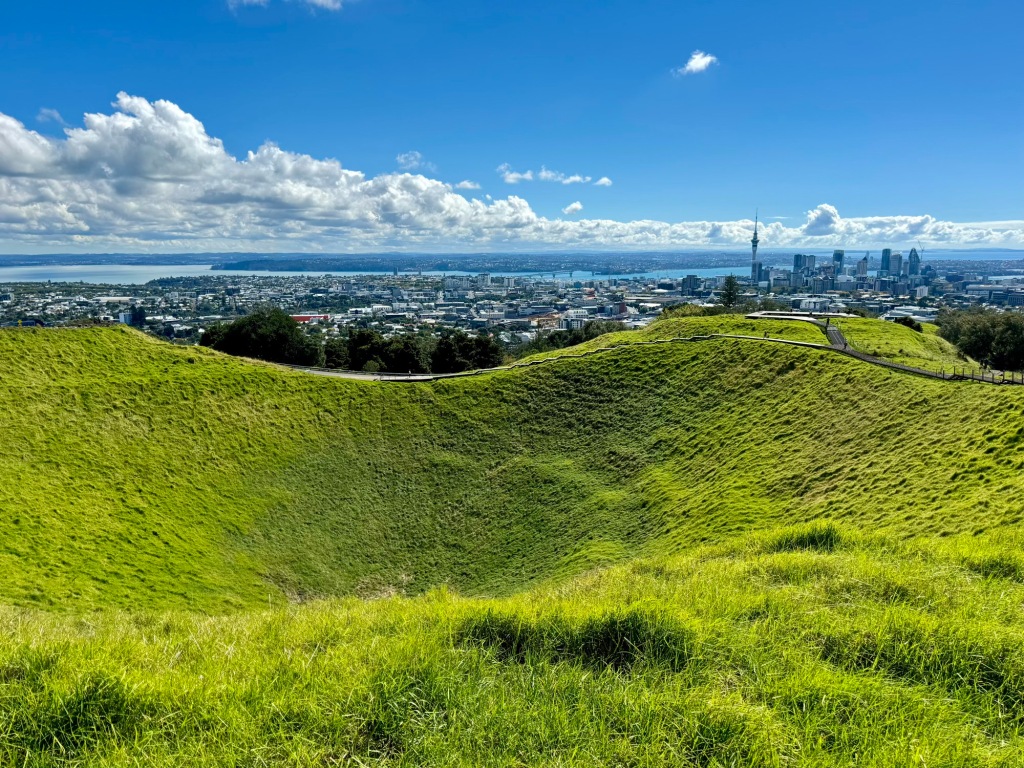
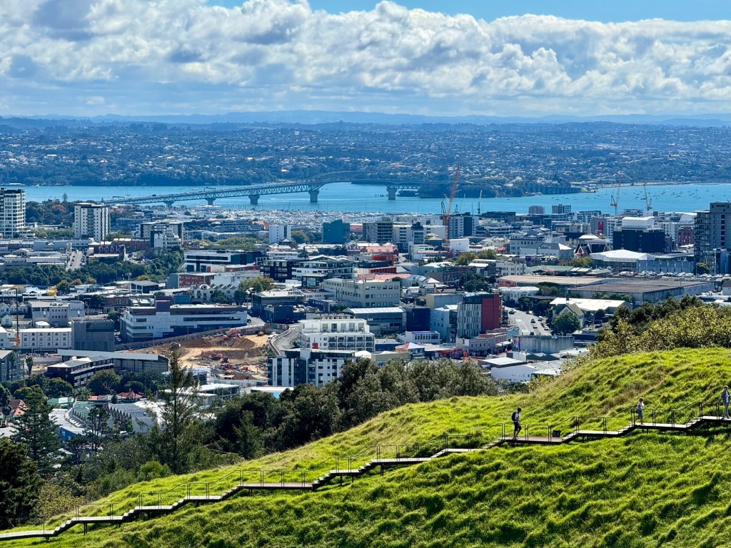
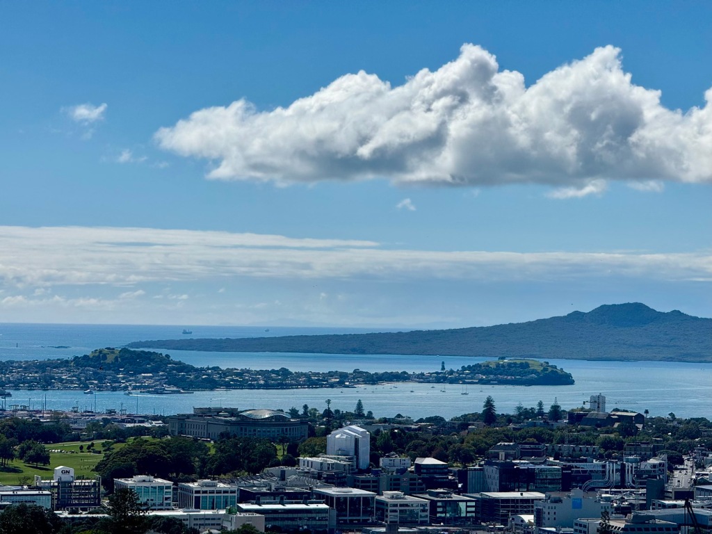
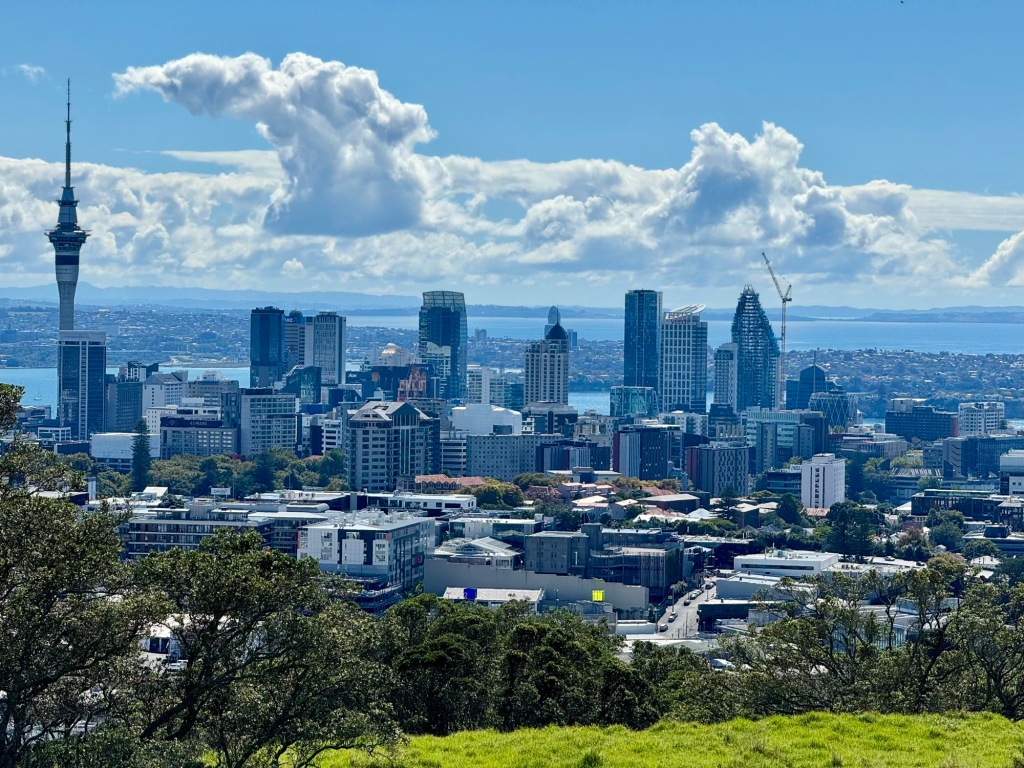
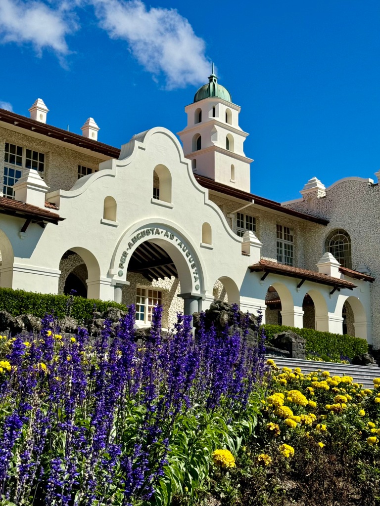
The 360° views from Maungawhau | Mt Eden including the Auckland Harbour Bridge over Waitematā Harbour, supporting eight lanes of traffic congestion (first photo), the Devonport Peninsula and the 260m volcanic cone of Rangitoto Island (second photo), and the Central Business District (CBD), featuring the iconic 328m telecomms and observation deck of Sky Tower (third photo). We descended past the Spanish Mission-style Auckland Grammar School for boys, established in 1869 (final photo).
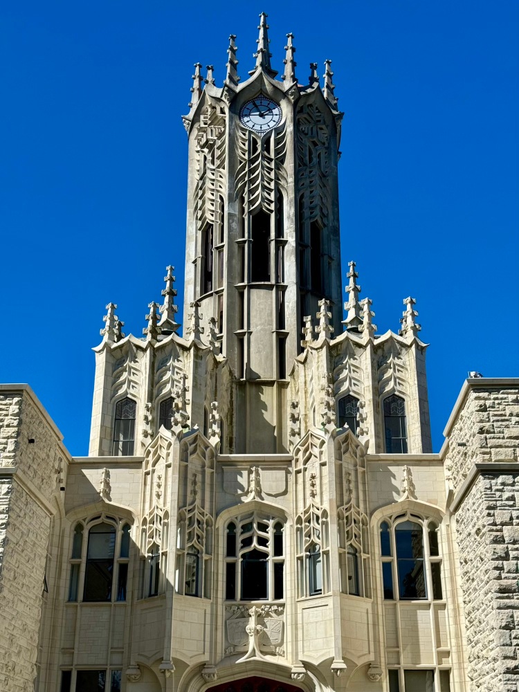
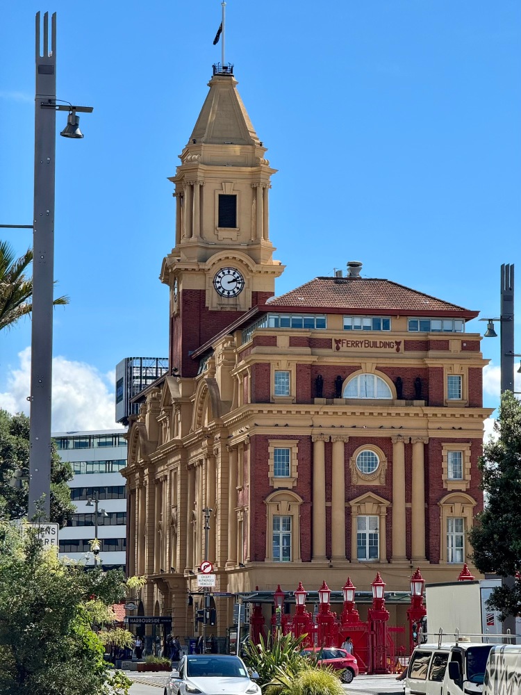
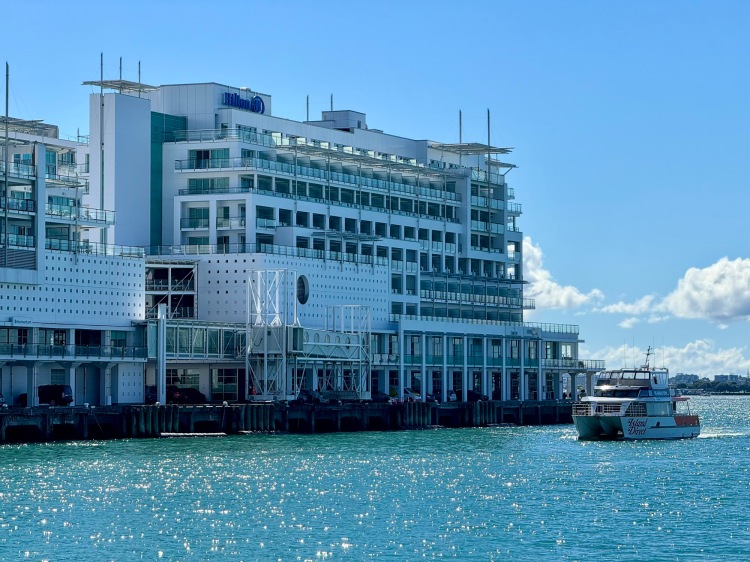
Next up, the hexagonal University of Auckland ClockTower, built 1923–26, faced in South Island stone and taking cues from Oxford (first photo). The waterfront’s Edwardian-Baroque Ferry Building was built 1909–12 (second photo). Our walk ended at Princes Wharf on the Waitemata Harbour, formerly under US control during WWII (third photo). It was then 40min by train from Waitematā | Britomart, the former central post office (final photo), back to Onehunga.
Here’s a track of our 14km/ 4h route:
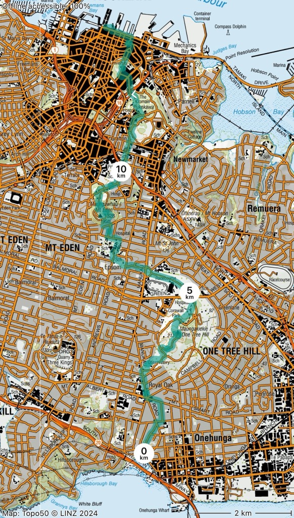
Auckland 101.
Tips and tricks
We can recommend the Coast to Coast Walkway as a very helpful means to orient yourself to Auckland suburbs and features. There was a good mix of points-of-interest along the way, and also a sense of accomplishment upon crossing the heart of the city on foot.
CBD and harbourside
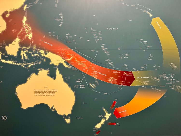
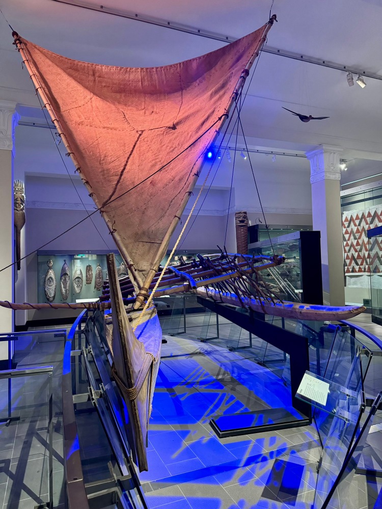
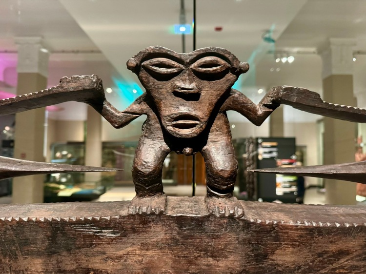
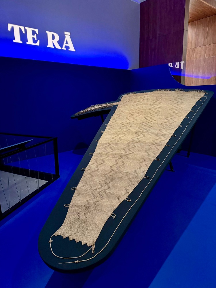
At Auckland Museum we visited the Wildlife Photographer of the Year exhibit (we liked the winning image, but also many others, such as this and this). There was a clear depiction of Polynesian and Māori ancestral voyages from Southeast Asia, around 3–4,000 years ago (first photo). The museum has a fabulous Pacifica collection; this canoe is from Tikopia (second photo). Tangonge | the Kaitaia Carving reflects both earlier Pacific and an emerging Māori style (third photo). Te Rā is the only surviving Māori sail circa 1770–1800, made of flax, feathers and dog skin (final photo; see blue box).
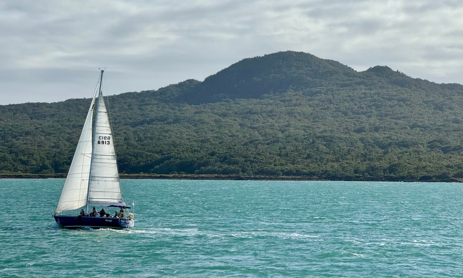
Te Rā: sailing home.
🤔 Curiosity
Sails and sailing have been important to humankind for a long time, bridging both distances and cultures. The inscription on Eiserner Steg Bridge in Frankfurt cites Homer’s Odyssey, describing the “sailing on the wine-dark sea towards people of other languages”. Te Rā (“the sail” in Māori) is a 200 year old Māori sail, the only one of its kind surviving. It languished in storage in the British Museum until 1998, when it was briefly shown in an exhibition about Māori. Te Rā initiated a different kind of odyssey in 2014 after researchers visited the UK to study the sail. The following years were taken up by trial and error to re-develop lost skills, necessitating a renewed and deep understanding of the materials and techniques required to produce such a sail—once a common item in a seafaring culture.
Weaving of harakeke (NZ flax) is an important skill in Māori culture—as is navigation, building, sailing and paddling waka (canoes). Te Rā consists of intricate patterns with tiny holes designed to catch the wind in certain ways. Dog hair is used, as well as notched feathers of indigenous NZ birds that are thought to direct air flow. Careful study by experienced weavers and others was required to comprehend the complexity of weave and materials contained in the 4.5m long sail made from 13 panels. The exhibition in the Auckland Museum shows this taonga (cultural treasure) together with two others: one small “trial” replica; the other a full size reproduction. The people involved in the research, project and actual weaving describe a deep spiritual connection to their ancestors and their skills in making sails, building boats and navigating to Aotearoa New Zealand.
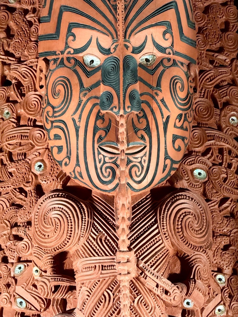
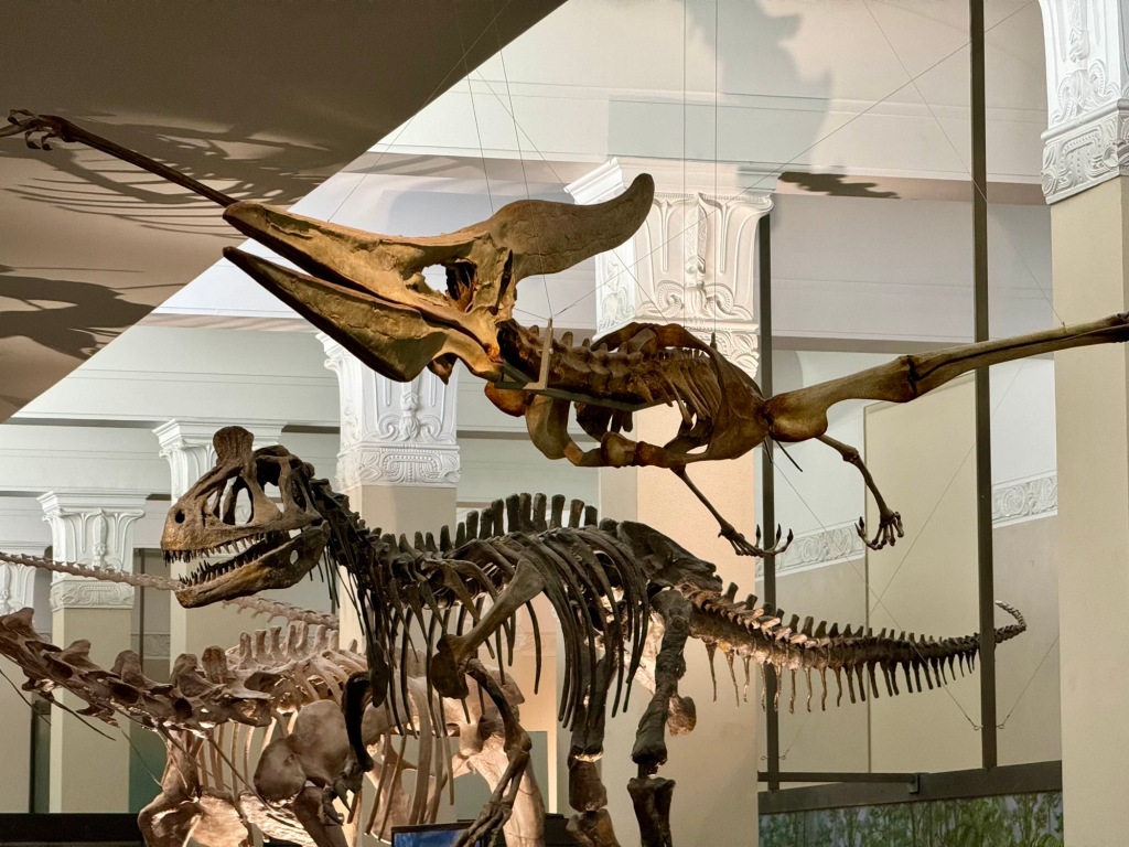
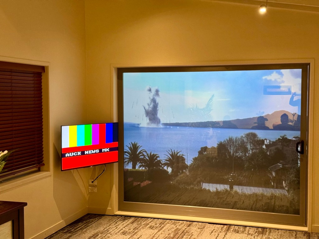
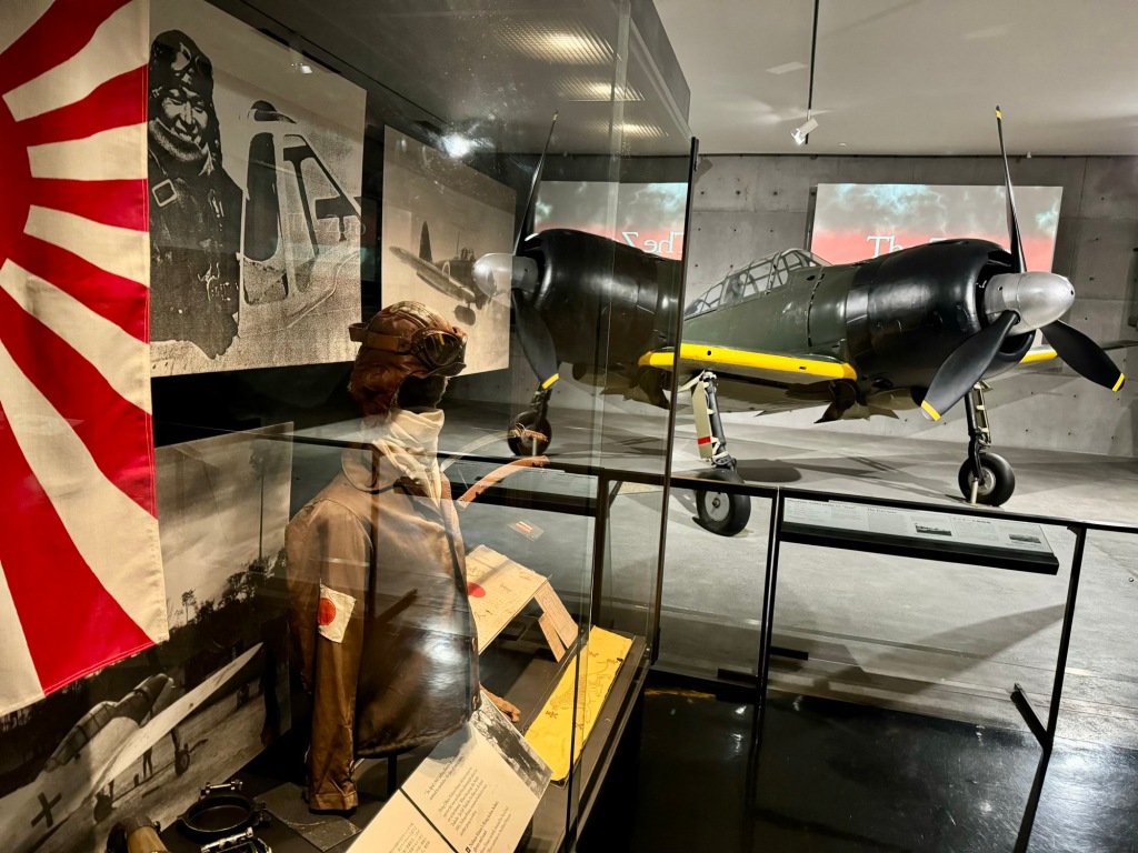
Other highlights in Auckland Museum included an ancestral figure from Te Puāwai o Te Arawa, a pātaka | raised storehouse circa early 1870s, in an evolved Māori style (first photo). Imagine this petrosaur from the first floor swooping down to swipe your chips—plus or minus an arm (second photo)! For a more contemporary terror, experience the simulated volcanic eruption (third photo). A war memorial and related exhibits occupy the third floor, including this WWII “Zero” fighter (final photo).
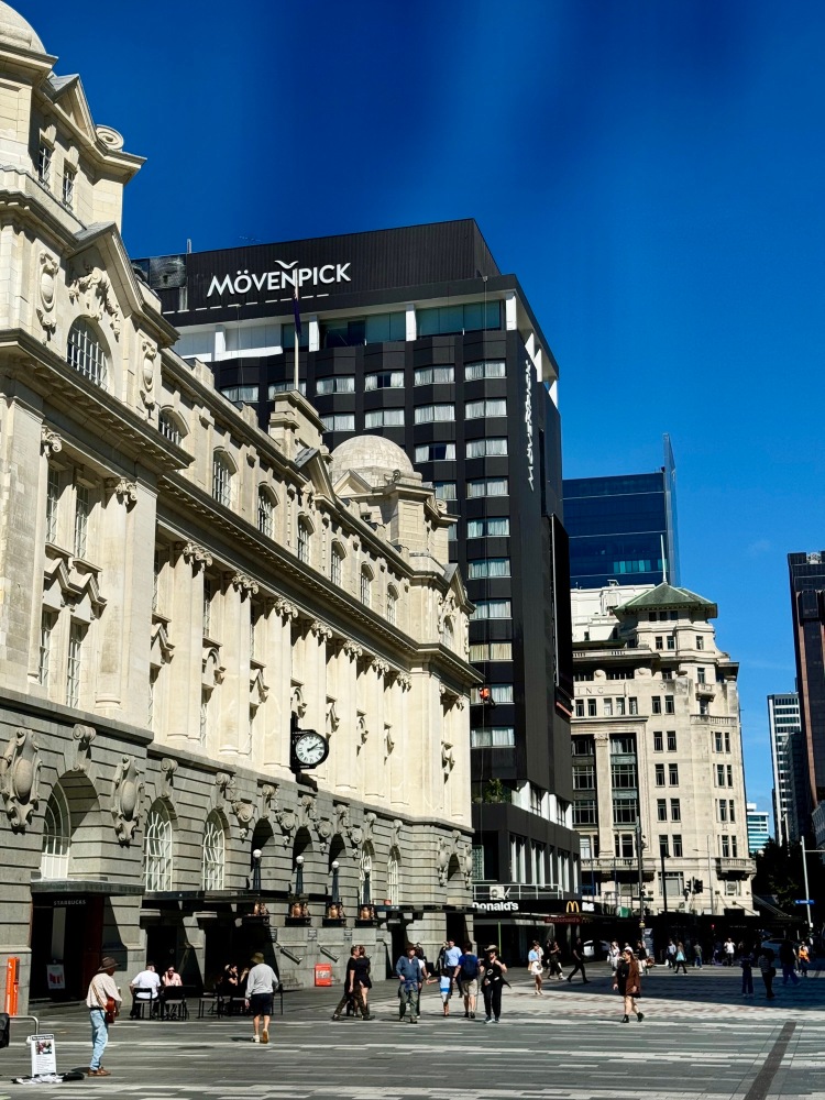
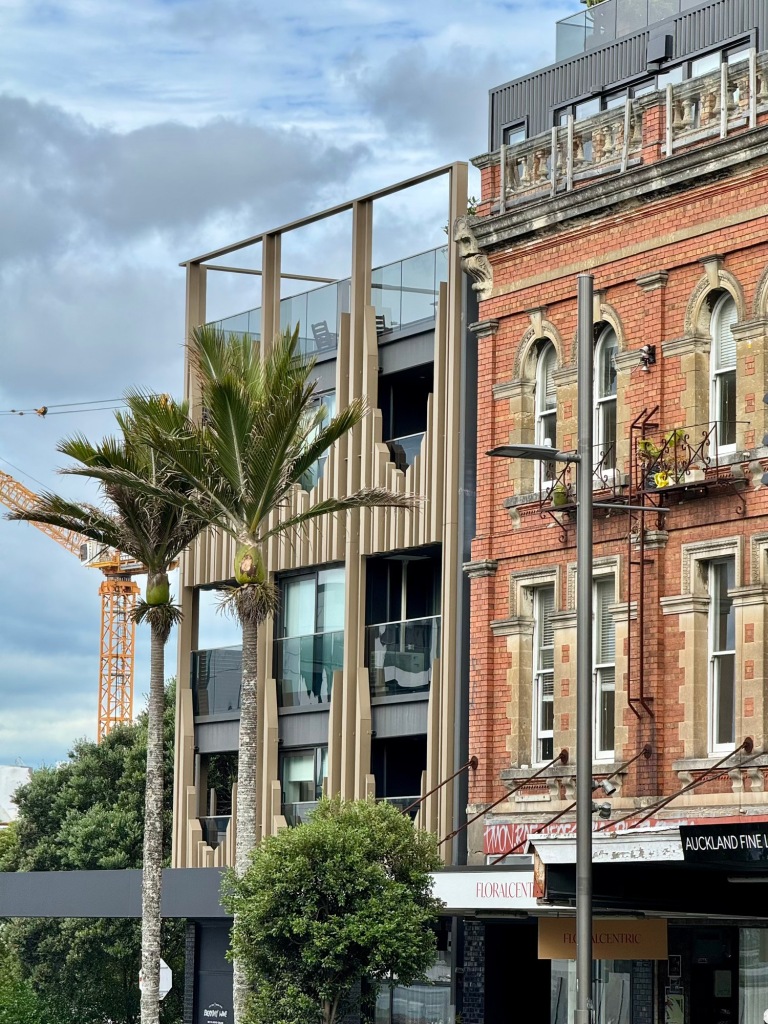
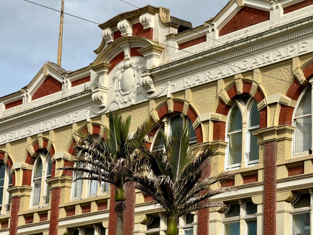
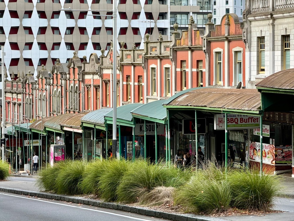
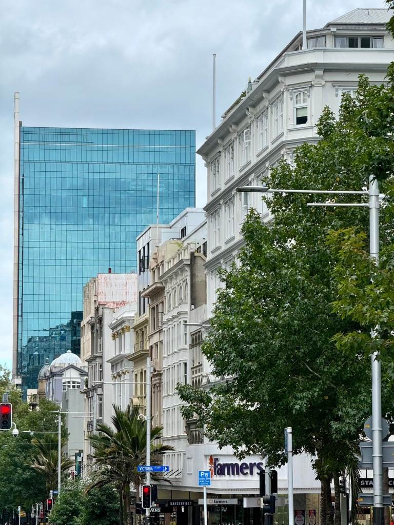
Our user experience of the AT HOP app and getting between the suburb of Henderson and Auckland’s CBD by train wasn’t exactly smooth. Once there we strolled down Karangahape (K’) Road, billed as “vibrant & exciting”, but with exceptions (first and second photos) we found it dull and tired. Perhaps it fares better at night? Famous Queen Street similarly lacked the downtown vibes of Wellington or Christchurch; again, there was some interesting architecture (third and final photos), but much was well past its “best by” date!
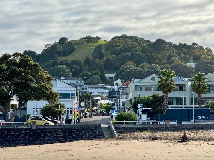
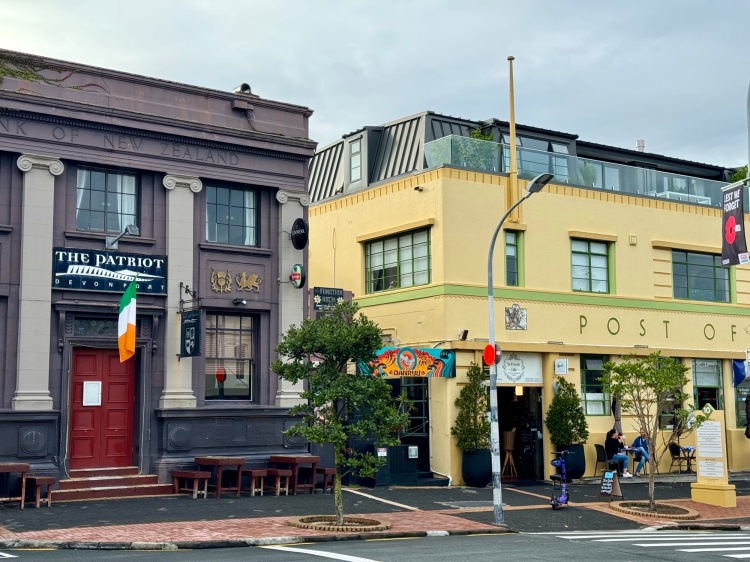
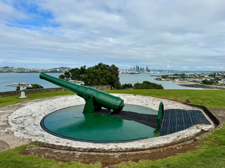
We spent a few hours wandering around Devonport. Here’s the view looking down Wynyard Street towards Mt Victoria, seen from the wharf (first photo). Victoria Road and adjacent side streets offer a selection of eateries and specialty shops (second photo), some housed in heritage architecture (third photo). North Head | Maungauika has good views and hosts historic defences e.g. the Disappearing Gun South Battery (final photo); the recoil of this WWII gun pushed it back into its pit for reloading under cover.
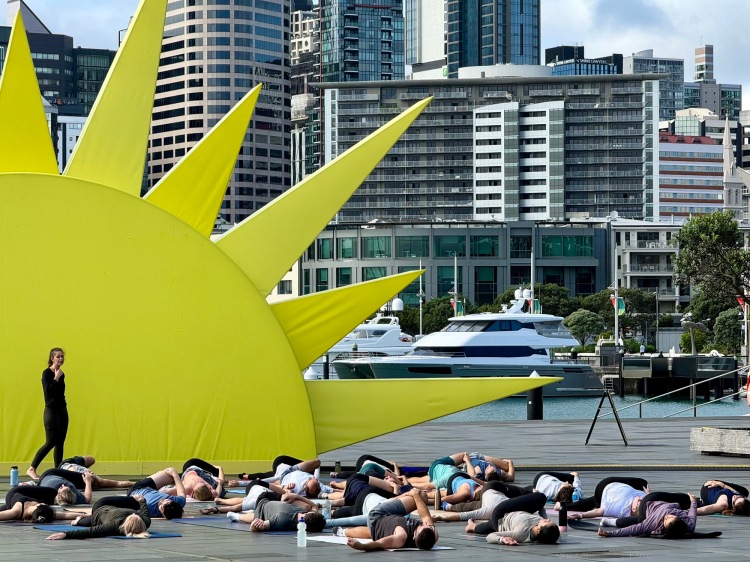
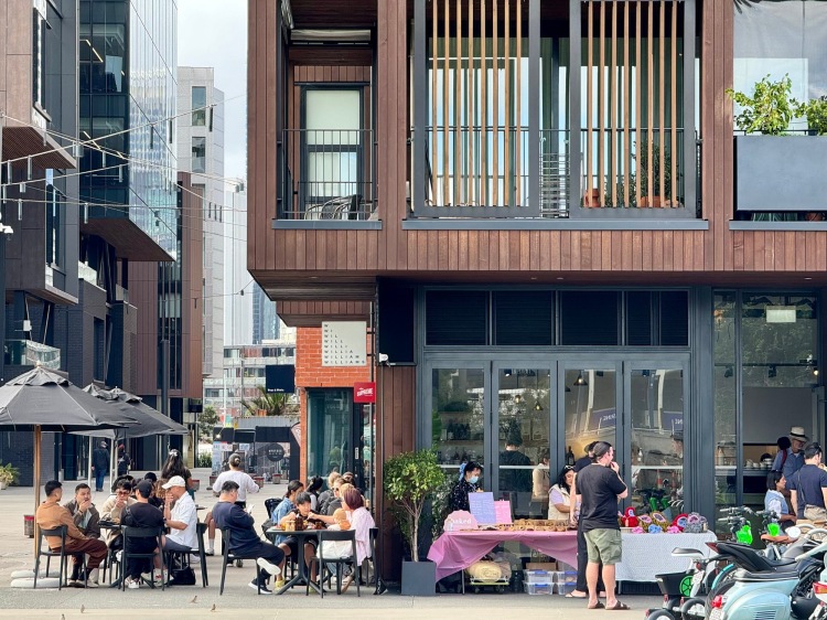
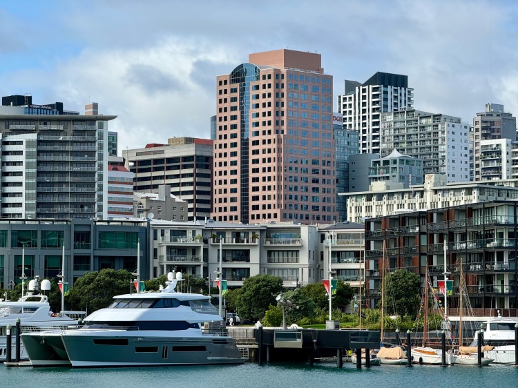
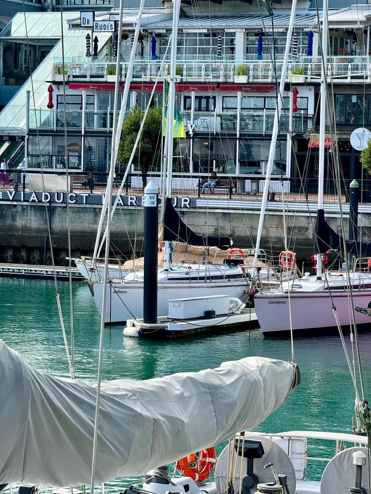
Auckland’s Wynyard Quarter (first and second photo) and adjacent Viaduct Harbour (third and final photos) project a high degree of financial prosperity—on both land and sea. The Quarter contains luxury homes, hotels, parks, plazas, shops, office space, eateries and community facilities perched over a reclaimed shoreline. The Viaduct area was an earlier but similar redevelopment, centred around NZ success in the America’s Cup yacht race.
Rangitoto Island
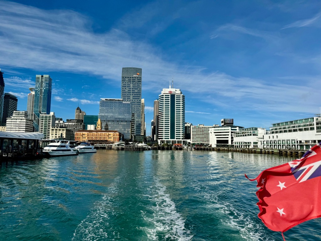
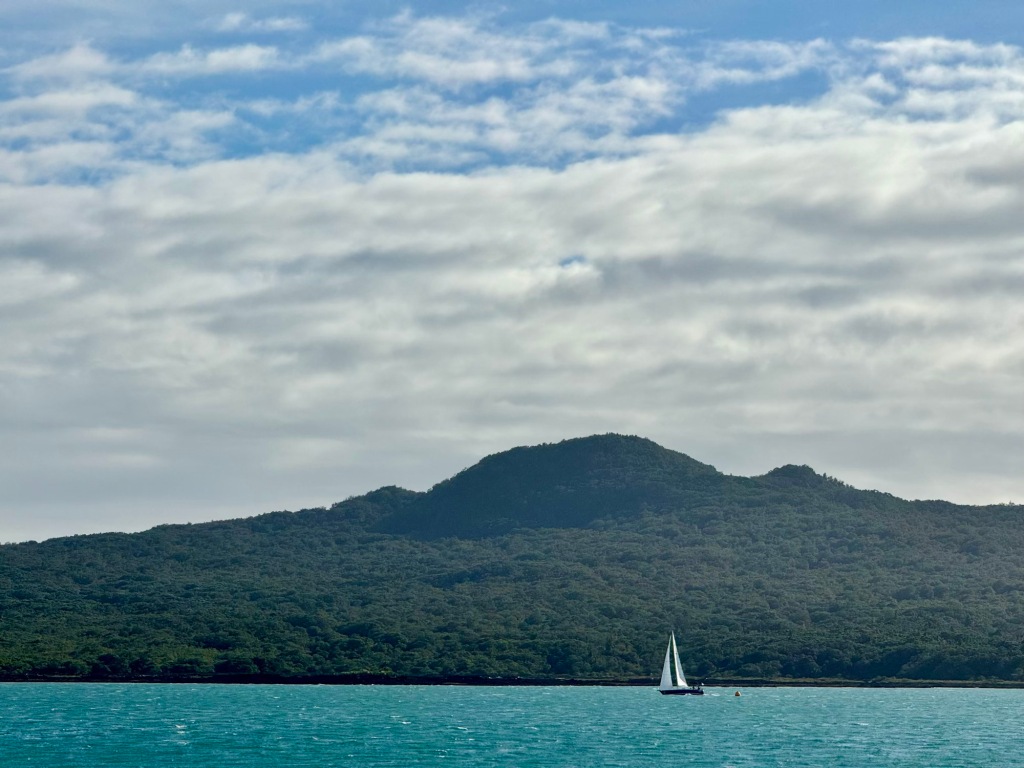
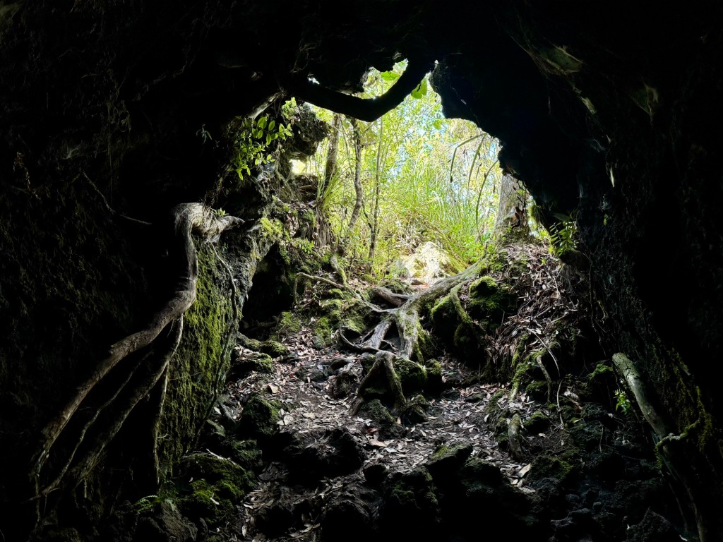
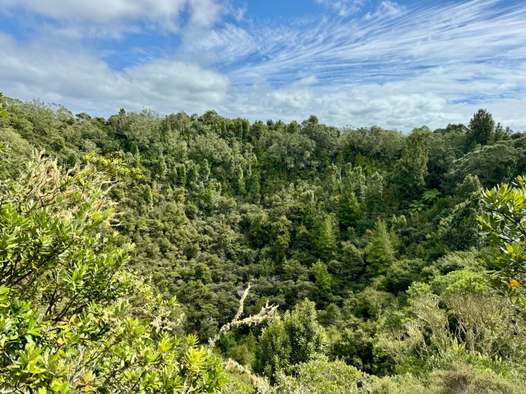
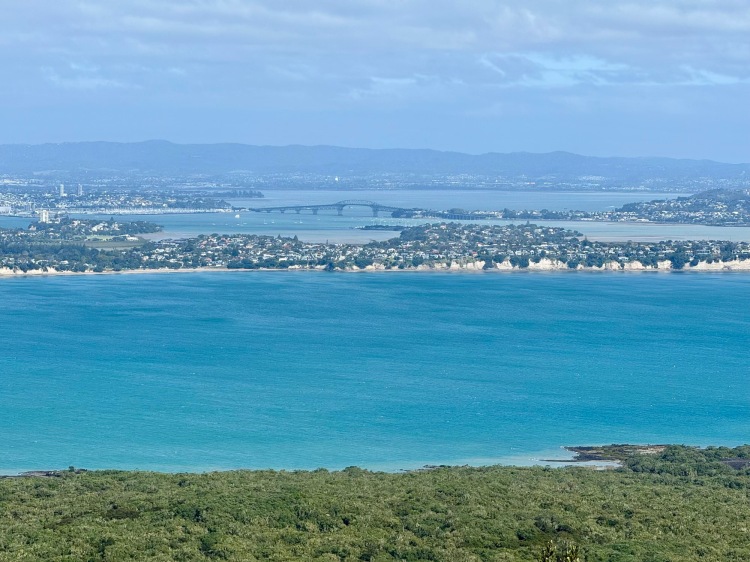
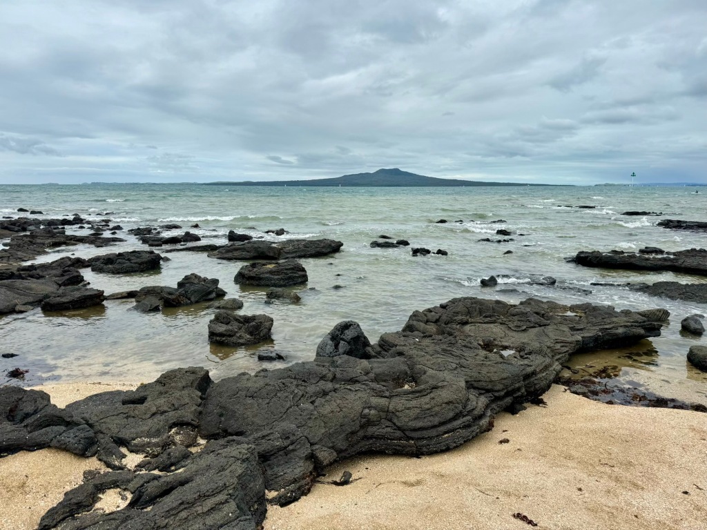
Auckland’s waterfront receded as we took to the Hauraki Gulf | Tikapa Moana by ferry (first photo). The youngest of Auckland’s 50 volcanoes, Rangitoto is NZ’s only basalt shield type and finished erupting around 1450CE—meaning events were likely witnessed by local Māori (second photo). Near the summit is a series of lava caves; the largest of these is about 50m long (third photo). A 200m wide, 60m deep crater occupies the youngest scoria cone forming Rangitoto’s peak (final photo).
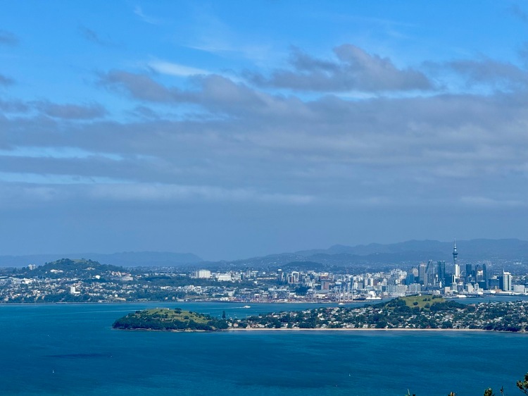
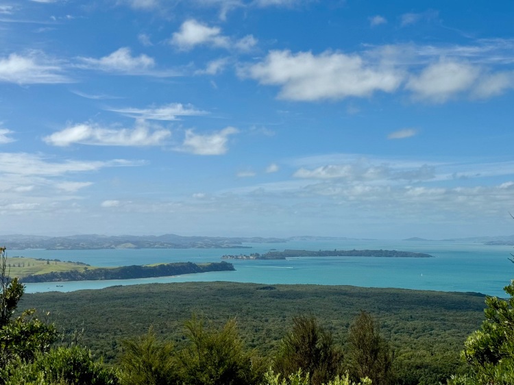
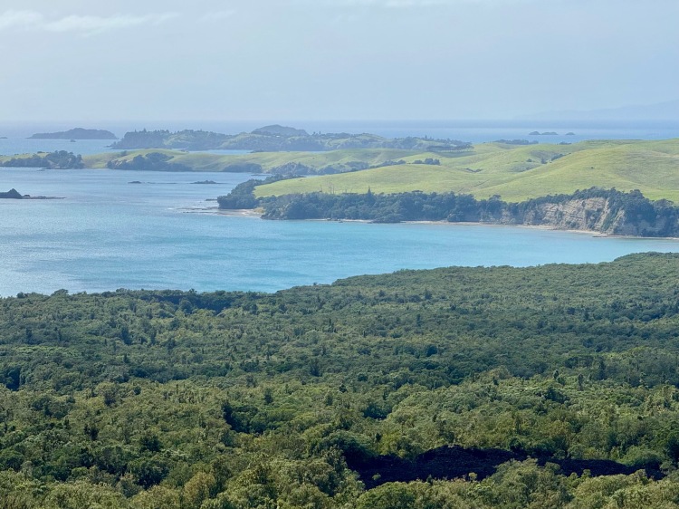
The summit at 260m has good views around the Gulf—hence the presence of WWII-era defence installations. Those views included Devonport’s North Head and Cheltenham Beach, with Waitemata Harbour and the CBD behind (first photo); Westhaven Marina and Harbour Bridge (second photo); Motuihi Island | Te Motu-a-lhenga and Waiheke Island (third photo); and Rangitoto’s non-volcanic neighbour, Motutapu (final photo), to which it is linked via a causeway.
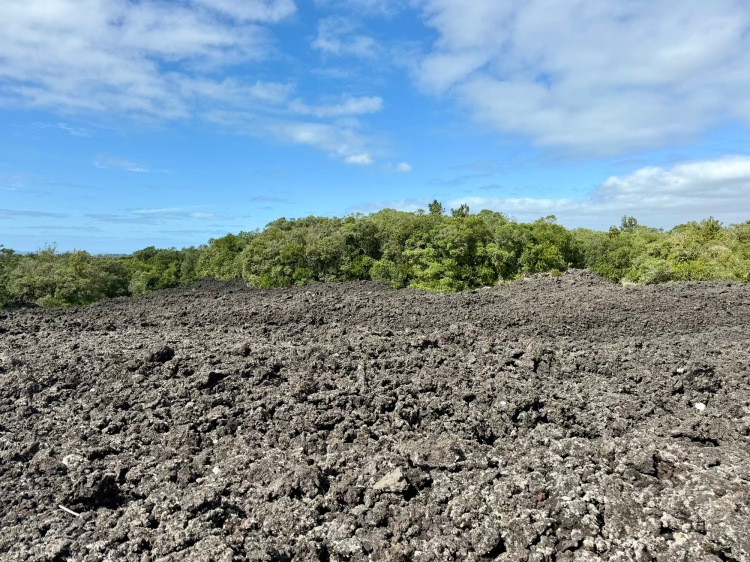
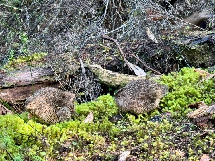
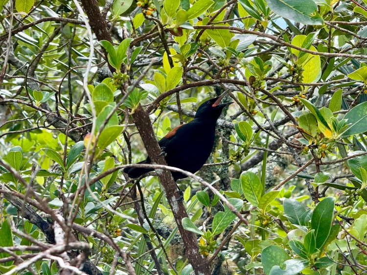
Some a’a (rough/ sharp in Hawaiian) lava flows are clad only in lichens; others are colonised by plants, some in atypical distributions due to the hot/ dry conditions (first photo). Bush birds are relatively scarce (a consequence of limited water and food) but we saw introduced brown quail (second photo) plus several endemic saddleback | tīeke (third photo). Of 101 pre-war baches, Walsh bach is one of a handful surviving (final photo).

City beaches
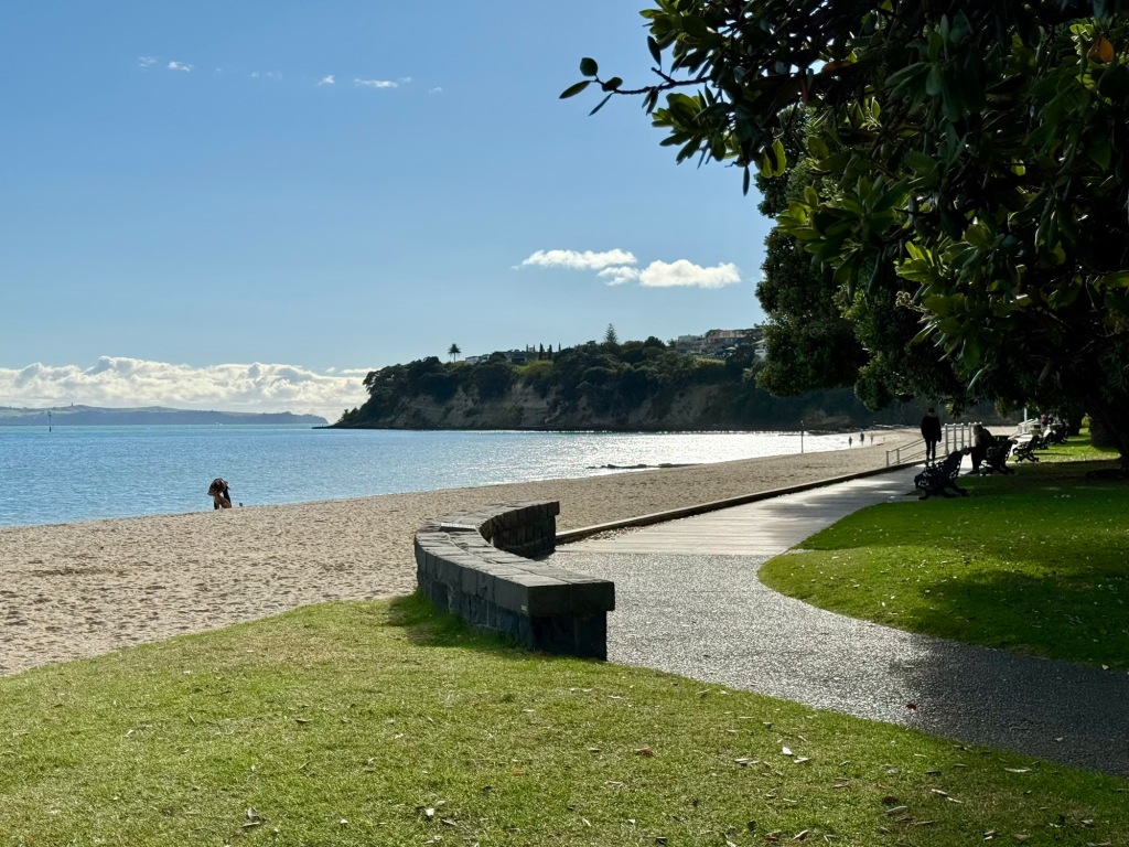
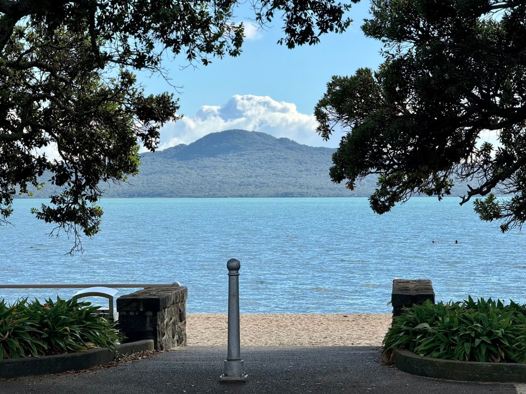
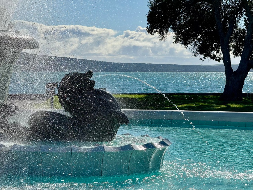
We visited a few of the many east coast city beaches. Takapuna Reef formed from cooled basalt lava when Pupuke (now a lake) erupted about 200,000 years ago; tree trunk moulds were created as lava engulfed a kauri forest (first photo). St Heliers was probably named in around 1883 for the Jersey Island seaport (second photo). The name Kohimarama Bay references wood chips produced in the carving of waka (third photo). Mission Bay refers to a Melanesian mission school established there in 1859 (final photo).
We still weren’t finished with Auckland, however, as there were several places “out west” we had yet to explore.
Join us on future away missions
Add our 📡 feed or enter your 📧 email for post notifications:
